
The route follows the Italian coast towards Caorle. Land remains visible and the general direction is easy to understand, but a clear horizon does not remove the smaller navigation tasks close to the coast.
Visible coast and chart belong together
Landmarks can support orientation, while the chart provides depths, channels and restrictions that may not be visible from deck. Position and what the crew sees outside are compared regularly.
Give fishing gear time and space
Reducing speed creates more time to recognise marks and understand their relationship. A generous distance is preferable to a late correction. When the course of a line is uncertain, the uncertainty remains part of the decision.
Coastal sailing requires an alert lookout
The Italian coast offers orientation but also detailed watchkeeping. Fishing flags may indicate gear or lines whose full course is not visible from the yacht. Commercial traffic, shallower areas and the chosen distance from shore add to the picture. A calm motoring day is therefore not empty navigation: lookout, chart checks and an early approach plan for Caorle remain active tasks.
Frequently asked questions
Why can fishing marks be difficult to recognise?
They may be small, partly hidden by waves or arranged differently depending on local fishing practice.
What should a yacht do near unclear fishing gear?
Slow down, keep a careful lookout and maintain enough distance to assess the situation without haste.
Is sailing close to a visible coast automatically simple?
No. Depth, traffic, fishing gear and local channels still require continuous navigation.
Talk to ONBOAT.
If a story raises your own question: we support yacht projects, deliveries, service and owner representation.
View service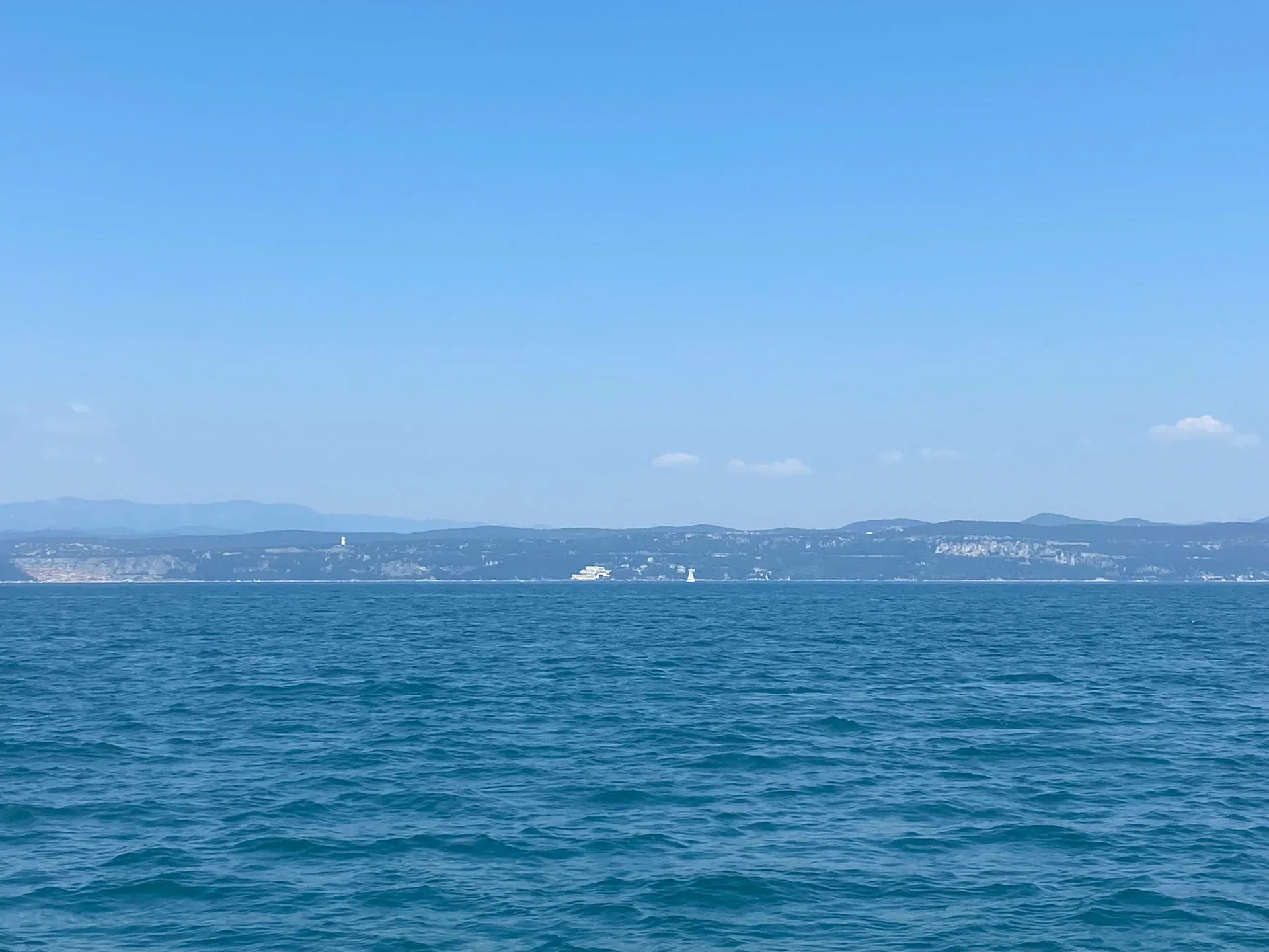 Italian Adriatic coastline seen from SY HERA on the way to Caorle