
On the way from Pula to Unije, HERA’s radar cannot be activated. One layer of information is missing, while plotter, AIS, compass, depth sounder and direct observation remain available.
Each tool answers a different question
The plotter places position and route on the chart, AIS supplies data from transmitting vessels, the compass shows HERA’s heading and the depth sounder measures water below the yacht. Visual lookout identifies coast, small craft and floating objects. Comparing these sources exposes inconsistencies.
Conditions set the limit
Good visibility and moderate traffic allow a different decision from fog, darkness or a confined approach. Without radar, the crew increases distance and decision margins. If the picture becomes uncertain, course, waiting position or destination must be changed earlier.
The depth sounder needs a known reference
Depending on installation and offset, it may show water below the transducer, below the keel or a calculated depth. Only configuration, chart and water level give the number meaning. It says little about traffic offshore, but an unexpected change during an approach can expose a contradiction with the chart.
Frequently asked questions
Does AIS replace radar?
No. AIS shows appropriately equipped transmitting targets, while radar can also detect other objects.
Which means remain without radar?
Depending on equipment: visibility, compass, chart plotter, AIS, bearings and depth information.
Is continuing always possible?
No. Visibility, weather, traffic and the sailing area must still allow a sufficiently safe assessment.
Talk to ONBOAT.
If a story raises your own question: we support yacht projects, deliveries, service and owner representation.
View service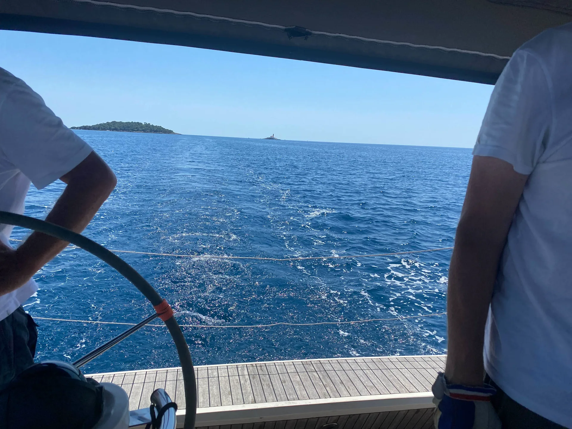 Helm station of SY HERA with open sea and islands ahead